
 Explore Worlds
 Find Life
 Defend Earth


Fun With a New Data Set: The OSIRIS-REx Earth Flyby
Written by
Emily Lakdawalla
February 28, 2019
The OSIRIS-REx team recently issued their first data release to the Planetary Data System. This release doesn’t include any closeup pictures of asteroid Bennu, but it does include all the pictures they took during their September 2017 Earth flyby. Looking at familiar targets like Earth and the Moon is helpful for getting into a new data set. This is true for amateurs and professionals both -- read Vicky Hamilton’s article for The Planetary Report on how the Earth flyby helped the science team.
It’s a relatively small data release, so I dove straight in. I downloaded everything and converted it from FITS to PNG format using Björn Jónsson’s IMG2PNG software to see what there was. I uploaded all the OSIRIS-REx Earth flyby PNG files here with a little bit of metadata -- browse it for yourself and see what you can find!
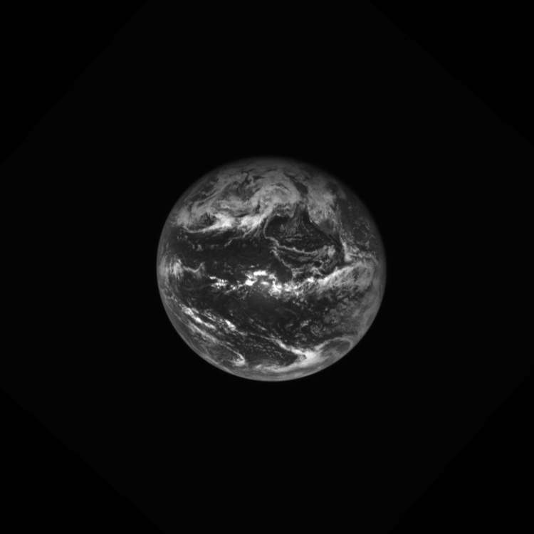
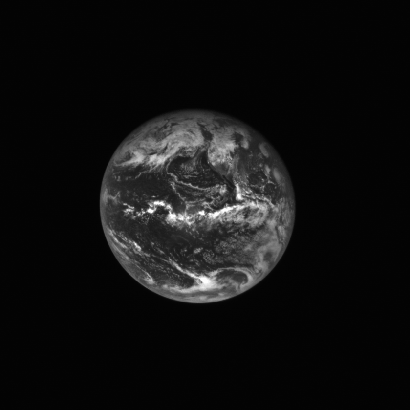
What did I find? First of all, there’s a neat set of photos taken with the NavCam of Earth, its size diminishing as OSIRIS-REx flew away from its flyby.
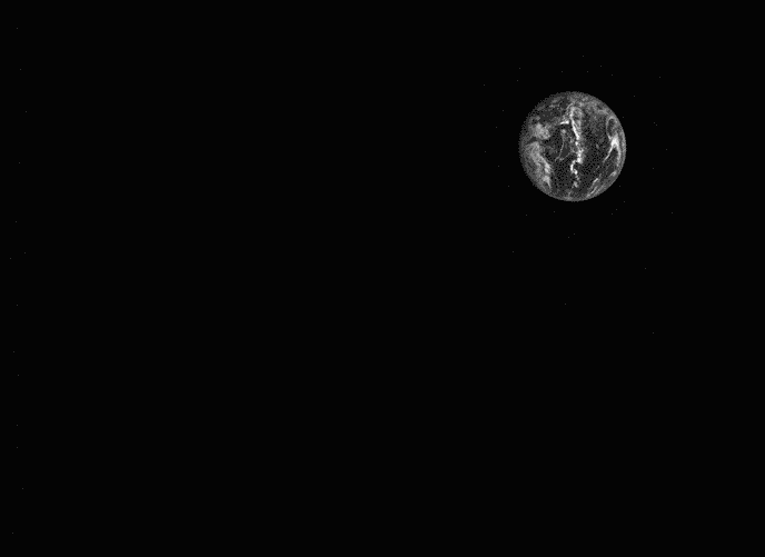
To get a better look at Earth’s rotation and diminution, I aligned all the pictures on one of the cloud features. All we should be seeing in the animation below is Earth rotating and receding. So why does it look like a squishy stress ball?
It was time for me to read more about OSIRIS-REx’s cameras. OSIRIS-REx has a lot of cameras. For that reason, I made sure that we made a good cheat sheet to accompany the aforementioned Planetary Report article. Take a look and compare the detector sizes and fields of view of the six different cameras.

You can see that there are two main sets of cameras on OSIRIS-REx. First, there are the OCAMS, the science cameras SamCam, MapCam, and PolyCam. They have smaller detectors (1024 by 1024 pixels), which is a common size for space science cameras. Each one has a field of view about 5 times narrower than the next one, providing resolving power 5 times greater. A set of images of the Moon taken 3 days after the Earth flyby shows you how the 3 cameras fields’ of view and resolving power compare to each other.

The other set of cameras is called TAGCAMS. There are three of them: two NavCams and a StowCam. (One of the NavCams is often called the NFTCam, for “natural feature tracking;” I will have to research more about what that means.) These have larger detectors than the OCAMS and very wide fields of view. They see a lot more area on the sky than any of the science cameras, at slightly higher resolution than SamCam but lower resolution than MapCam or PolyCam.

It’s the wide field of view that’s responsible for Earth’s stress-ball-like squishiness in the animation above. There is geometric distortion in the NavCam images, as explained in this paper describing the TAGCAMS instruments. (When data sets get released to the PDS, they also provide documentation, papers about how the instruments work, and this paper is open-access.) Here’s an illustration showing what a NavCam photo of a checkerboard looks like without (left) and with (right) geometric correction. You can see that squares near the center of the uncorrected image appear larger than those nearer the edges, and that the farther you get from the center, the more distorted the squares get.

By playing with the left image in Photoshop I figured out that I could use the Lens Correction filter and set a custom value of 12.00 in the “Remove Distortion” field o dramatically reduce the distortion. Having done that, I recreated the receding-from-Earth animation, below. It’s not perfect, but it’s pretty good, I think!
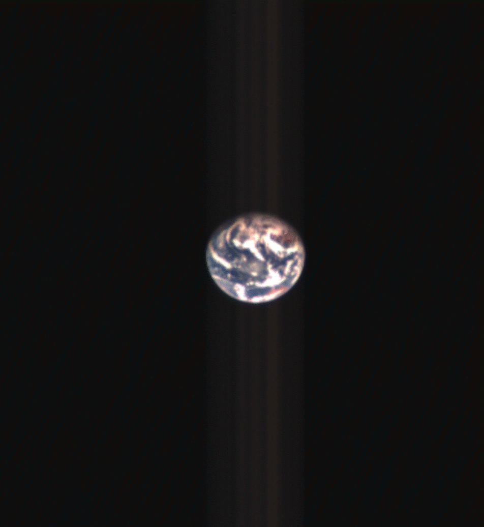
Björn Jónsson, who’s more skilled than I am at image processing, produced a few really nice views of Earth and the Moon from these data.


And here is Jacint Roger Perez' take on some of the MapCam data:
What can you do with the OSIRIS-REx Earth flyby data? Check them out for yourself!

Protect Our Shared Future
You help us defend humanity and prevent asteroid impacts. Donate now to become a Planetary Defender!
Donate