
 Explore Worlds
 Find Life
 Defend Earth


Planetary Radio • Aug 01, 2018
Diving Into That Lake on Mars
On This Episode

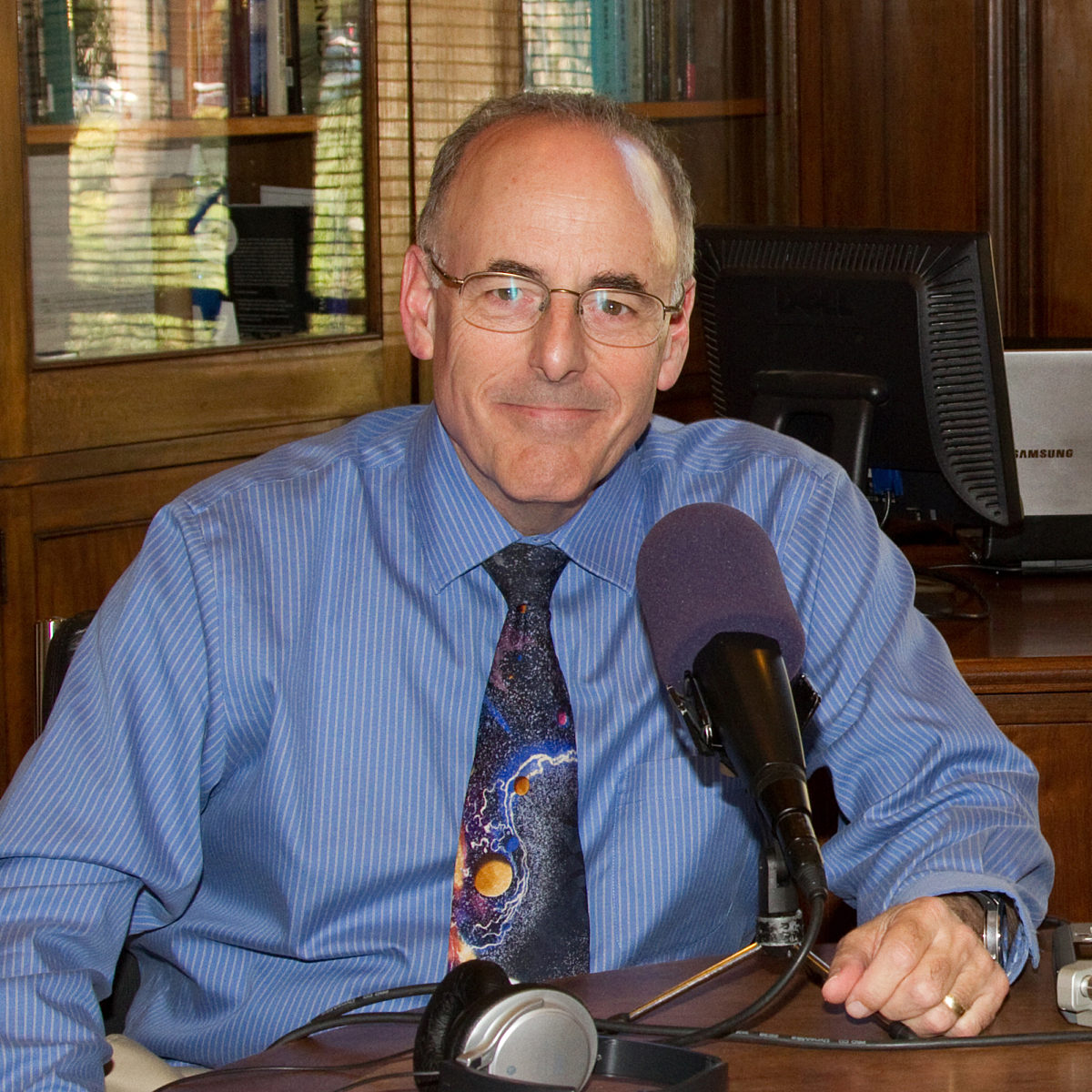
Jim Garvin
Chief Scientist for NASA Goddard Space Flight Center

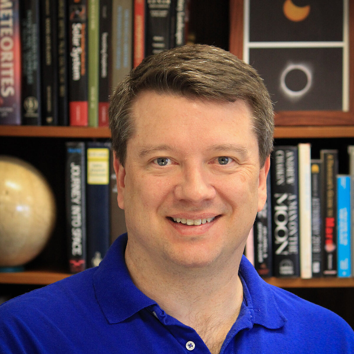
Chris McKay
NASA Ames Research Center Senior Scientist and Co-Founder of The Mars Underground
Bruce Betts
Chief Scientist / LightSail Program Manager for The Planetary Society
Mat Kaplan
Senior Communications Adviser and former Host of Planetary Radio for The Planetary Society
Our world was rocked by last week’s announcement of good radar evidence for a liquid water “lake” under the Red Planet’s south pole. Senior Editor Emily Lakdawalla introduces us to the story that is then taken up by two of host Mat Kaplan’s favorite Martians. The Goddard Space Flight Center’s James Garvin headed NASA’s Mars exploration program, while NASA Ames astrobiologist Chris McKay co-founded the Mars Underground more than 35 years ago. Look up! Mars is still close by, and the Perseid meteor shower is around the corner. Bruce Betts gives us the What’s Up lowdown.


This Week’s Prizes:
A svelte Planetary Radio t-shirt from the Planetary Society Chop Shop store. Also, a 200-point iTelescope.net astronomy account.
This week's question:
What is the most abundant chemical element in the universe?
To submit your answer:
Complete the contest entry form at http://planetary.org/radiocontest or write to us at [email protected] no later than Wednesday, August 8th at 8am Pacific Time. Be sure to include your name and mailing address.
Last week's question:
When will be the next time Mars is closer to Earth than the 2018 approach on July 31st?
Answer:
The answer will be revealed next week.
Question from the week before:
After Apollo 11, what was the first American mission to fly an all-veteran crew? (All members had previously been in space.)
Answer:
The crew of STS-26 was the first American mission after Apollo 11 to have a crew consisting entirely of space veterans.