Doug Ellison • Aug 24, 2007
Europlanet: RADAR views of Titanian Geology
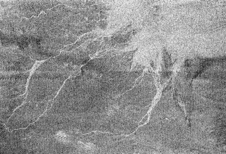
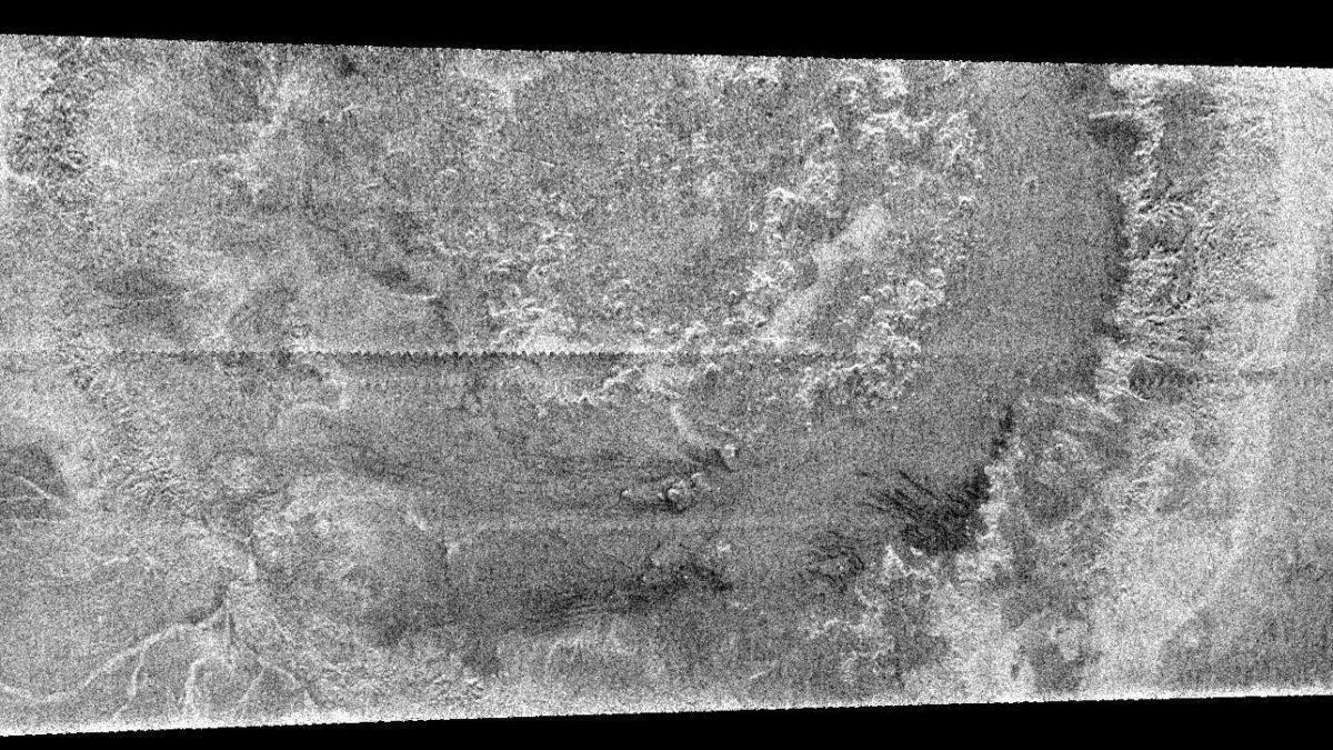
"What plays in Potsdam stays in Potsdam" - that's how Ralph described a problem I mentioned over at UMSF where I explained I couldn't combine the audio of my talk with the MOV of the slides because you're not allowed to record presentations. It's "law of the stag" for conferences. So, in the spirit of the law, here's an overview of Ralph's excellent overview of Titanian geology as seen by various RADAR passes. The first RADAR pass in October 2004 was "unlucky" - it was, when compared to other more recent swathes, a jumbled, chaotic terrain that was hard to interpret. Since then, 20% of the surface has been mapped and these extra passes have provided much clearer clues to surface geology.

Ralph showed three of the craters that have been identified (Menrva at 400 kilometers wide, Sinlap at 80 and Ksa at 29 kilometers) and combined with others they allow a study of the cratering density. If you compare the density of cumulative number against size - and then compare to that of Rhea and Iapetus - Titan lacks medium-sized craters by a factor of about 100. They've not seen enough surface to add a point on the graph for very small craters, but it's expected to be very low given that smaller impactors are likely to burn up in the current atmosphere (assuming it has been the same over geological time). The graph actually tracks that of Earth quite well, indicating that craters on the surface have been eroded away. Whilst mildly controversial and hotly debated within planetary science, crater counts to calculate date would be the surface at around 500 million years.

The way the RADAR instrument works is with 5 beams, which actually overlap slightly. To reconstruct the radar signal into an image you have to know the distance to the target quite accurately - but within the overlap they were getting a slight interference which they have now been able to resolve using a method called SARtopo. By interpreting data using a variety of altitudes you can identify the altitude at which the interference is minimized and thus derive a topographic profile within the overlap of the beams. This technique has now been verified by comparing with a pure altimetry radar pass, and the proper overlap of two radar passes for conventional stereo interpolation. A little bit of extra science for free, that wasn't even thought of before they tried it. As for the well-documented sand dunes...and sand means a certain size of particle, not a composition, they have a problem. You would expect that sand would be generated by and then washed downstream by the river and deposited. However - if you consider all the dunes - fully 40% of the tropics, 20% of the whole planet - that method just doesn't produce enough material to hide craters, which would have started with topography 150 meters tall. Something else must be hiding the craters.

The lakes - and in fact going on any terrestrial scale they should be called seas, are a RADAR black hole. The noise-floor of RADAR is very low and the black lake areas can be returning no more than about 0.3% of the incoming RADAR signal. At some lake edges, where the fluid is thinner - perhaps a few meters - the underlying terrain can still be seen and indeed channels within that terrain are visible suggesting that the "fluid level" (I had to stop myself calling it a water level) changes, quite significantly. Also - these RADAR observations indicate a very smooth sea surface (a rough sea would reflect the RADAR). Some time ago, Ralph did some experiments using a wind tunnel and kerosene to simulate what kinds of wind speeds you'd need to get waves on Titan lakes. That experiment indicated that wind speed of several meters per second would be required - and wind speeds at the Huygens landing site were no where near that sort of level. Titan is still asking us more questions that we can provide answers, but using Cassini's RADAR, ISS, and VIMS we may get closer to understanding it - but Ralph's conclusions page pitched a 100 meter-per-pixel RADAR and infrared mapping Titan orbiter in the flagship class of missions. Given how fascinating Titan is becoming, (and Europa and Enceladus fans will hate me for this)...I want to see that happen.
The Time is Now.
As a Planetary Defender, you’re part of our mission to decrease the risk of Earth being hit by an asteroid or comet.
Donate Today

 Explore Worlds
 Find Life
 Defend Earth

