
 Explore Worlds
 Find Life
 Defend Earth


Bruce Murray Space Image Library
Mosaic of Low-Altitude Mapping Orbit images of Cornelia crater, Vesta
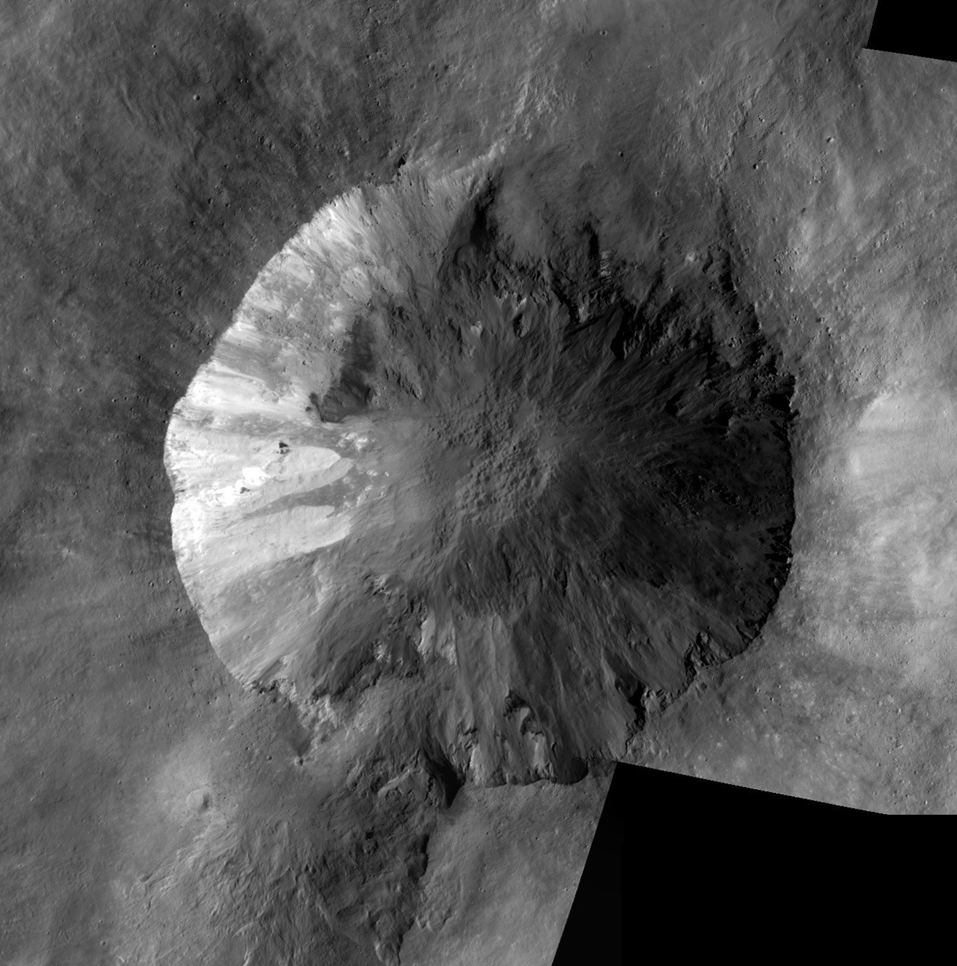
Original images:
- FC21B0017221_12011143215F1E
- FC21B0024101_12092100525F1A
- FC21B0025747_12108052400F1A
- FC21B3022308_12073115339F1B
- FC21B3022309_12073115509F1B
The images were mosaicked using the Photomerge feature in Photoshop.