
 Explore Worlds
 Find Life
 Defend Earth


Bruce Murray Space Image Library
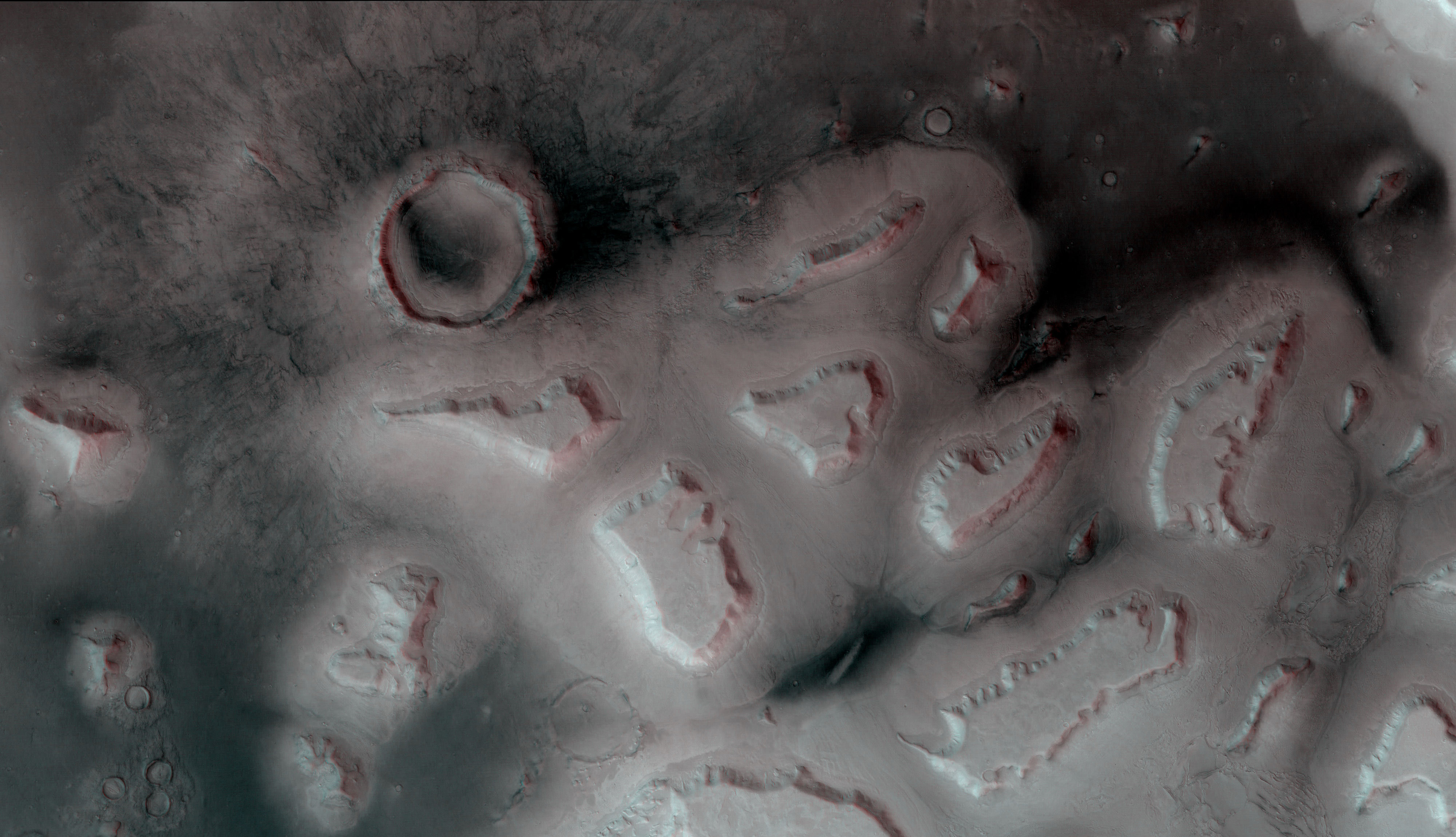
Aproned mesas in Deuteronilus Mensae, Mars (3D)
The above is a red-blue anaglyph. Use 3D glasses (red over left eye, blue over right) to see it in 3D.
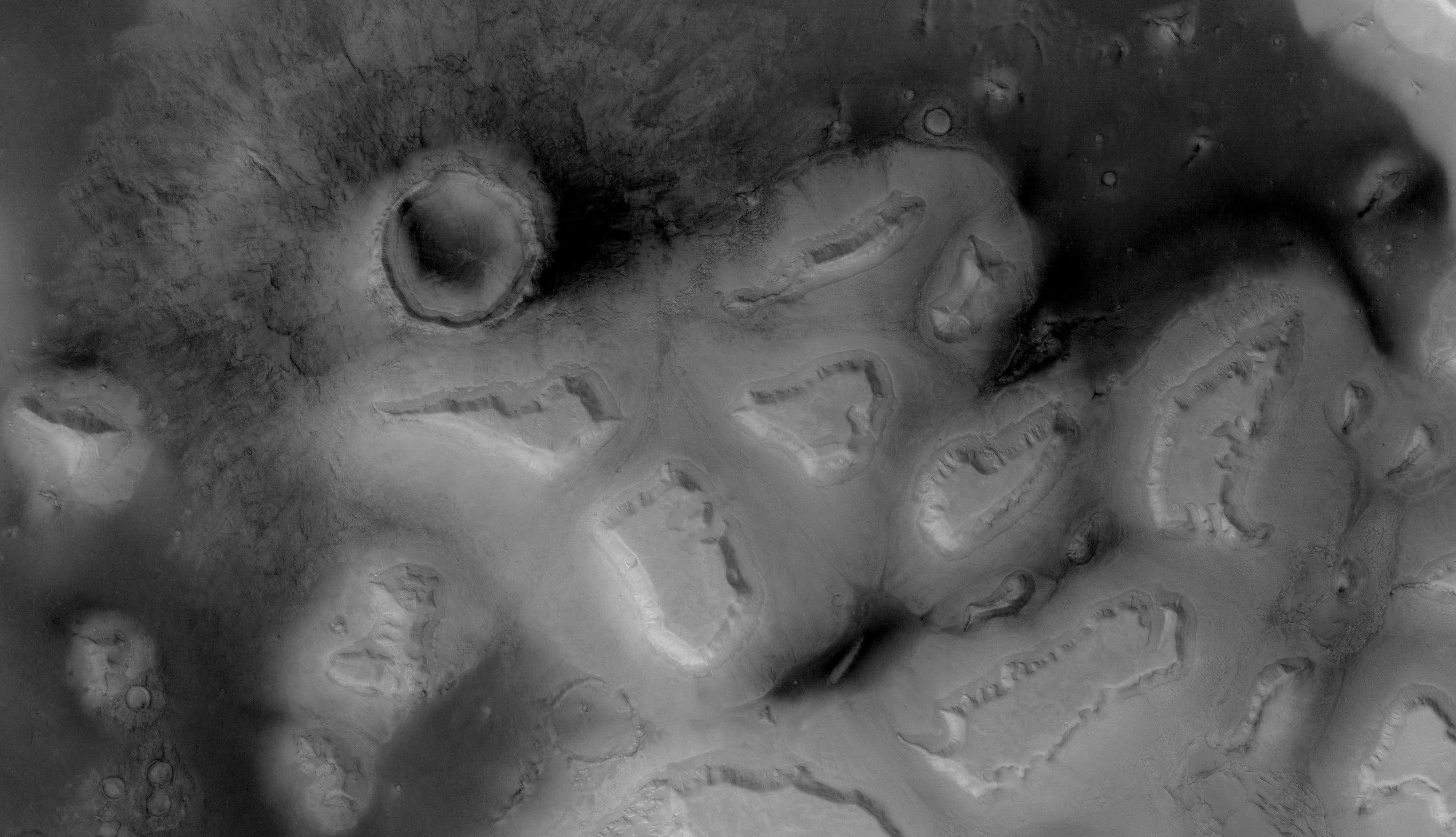
Stereo View


Flicker GIF

Part of HRSC image 1483_0000. Here is the data on the HRSCview website, and also on the ASU Mars Data website. This is the same image as in ESA's Deuteronilus Mensae release, but it shows a different cropped area. It is a wider view of the region shown in this color image.
Source data was Level 3, meaning that it has all been reprojected onto a MOLA topographic map. That has the effect of removing large-scale topography (regional slopes and the larger topographic features, including the mesas) while leaving in small-scale topography (crater rims, cliff scarps, et cetera). Differences in illumination probably result from different path lengths through the atmosphere? The left-eye (red, in the anaglyph) image is stereo channel 2, the right-eye image stereo channel 1. The image has been rotated to place north at left in order to make the stereo sensible to the human eye.