
 Explore Worlds
 Find Life
 Defend Earth


Bruce Murray Space Image Library
Aproned mesas in Deuteronilus Mensae, Mars
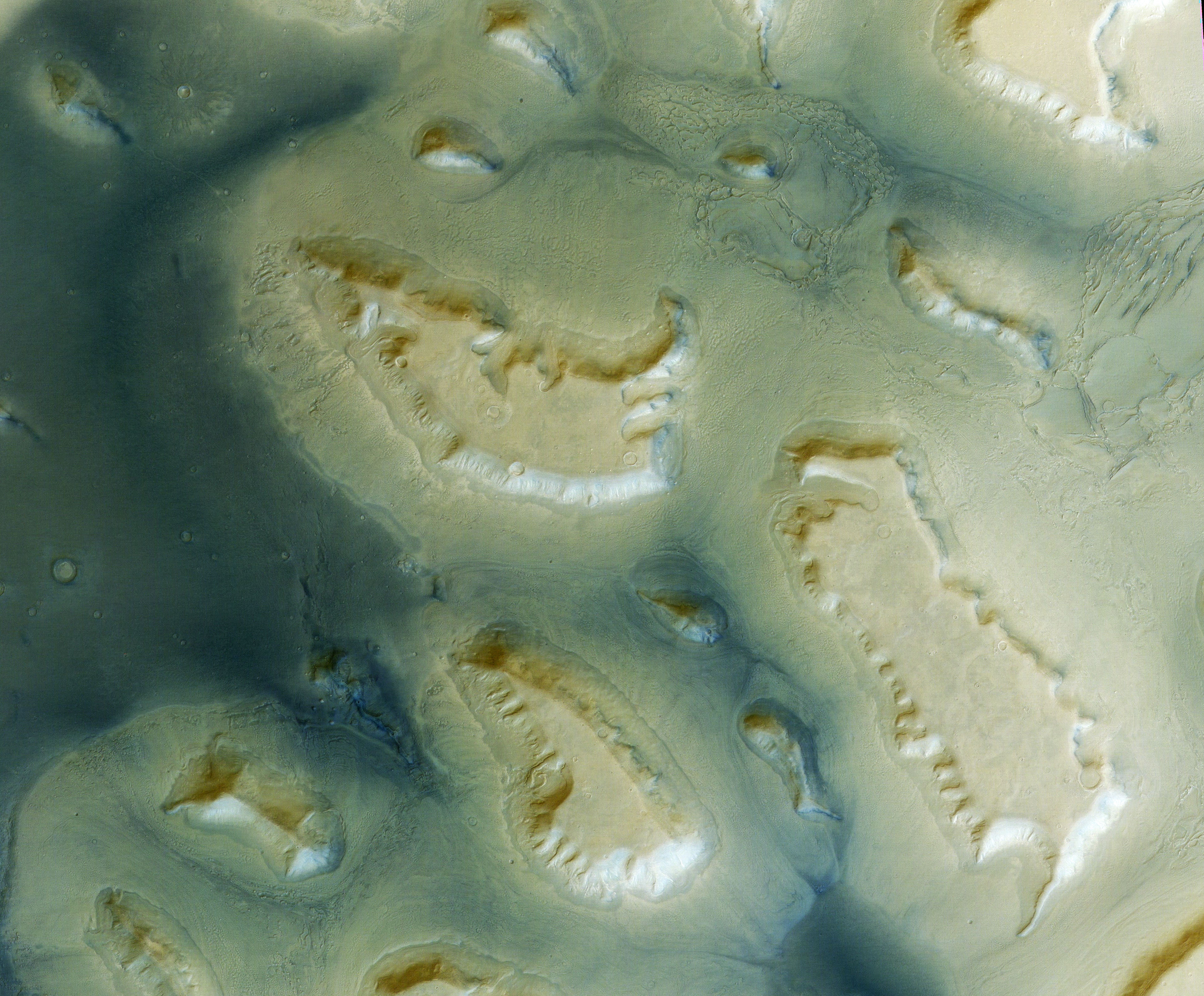
Part of HRSC image 1483_0000. Here is the data on the HRSCview website, and also on the ASU Mars Data website. This is the same image as in ESA's Deuteronilus Mensae release, but it shows a different cropped area. Here is a wider view of the same area in 3D.
Source data was Level 4, meaning that it has all been reprojected onto the HRSC-derived DEM to remove geometric distortion. A composite of infrared, green, and blue channel color data was overlaid onto the higher-resolution nadir-channel image. At its full size the image has 25 meters per pixel. The original nadir data resolution was 12.5 meters per pixel, the color data 50 meters per pixel. The contrast has been stretched to enhance features.
Here is a detail view of an interesting feature:
