Adam Block • May 05, 2017
Earth's ring system: This mosaic shows 46+ geostationary satellites in one image
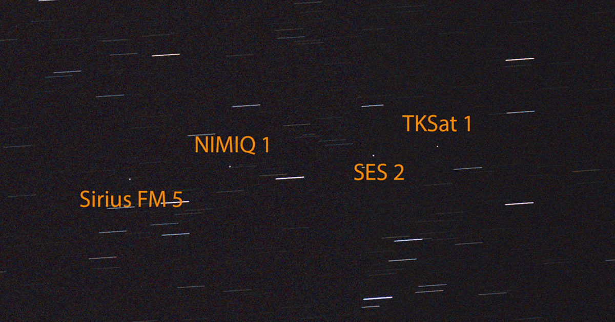
Earth has something of a ring system—a human-made one, anyway. Geostationary satellites are carefully placed in orbits that are fairly narrowly defined along the Earth's sky-projected equator:

Click through for the full-size version (19240 x 2201 pixels, 15 MB), or learn more on Adam Block's website.Image: Adam Block and Eric Pearce / Steward Observatory / University of Arizona
Simply take a picture of the sky along this line at night and you will find them. No tracking needed because their revolutionary periods around the Earth match the Earth's rotational period (so the stars will trail). This puts these satellites out there at around 26,200 miles from us.
The image is a 35 degree swath of sky. It is more of an educational kind of image rather than a pretty one, but I think it is interesting because it is accessible and yet not commonly thought about. I have labeled the majority of the critters in the image, though there are obviously others detected.

The images were captured from my backyard using a telephoto lens and a DSLR camera. It recreates, somewhat, an older film image created by Bill Livingston at Kitt Peak National Observatory.
The Time is Now.
As a Planetary Defender, you’re part of our mission to decrease the risk of Earth being hit by an asteroid or comet.
Donate Today

 Explore Worlds
 Find Life
 Defend Earth

