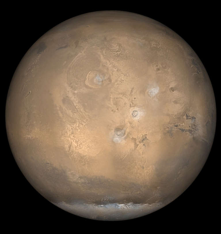
Then & Now: Mars global view
Left Image:
The Mariner 6 and 7 spacecraft launched in 1969. Together, the twin spacecraft completed the first successful dual mission to Mars. During their flybys, they collected atmospheric science data and over 200 combined images, completely changing our perspective and understanding of the Martian surface. The images at the top half of this globe were taken by Mariner 6 and the images on the bottom half of the globe were taken by Mariner 7.
Right Image:
NASA’s Mars Global Surveyor (MGS) spacecraft launched on Nov. 7, 1996, and arrived at Mars on Sept. 12, 1997. At the time of taking this photo in 2002, it had collected more information about the red planet than all previous missions combined. Its findings provided a far better understanding of the Martian atmosphere and surface and discovered the existence of the Martian crustal magnetic field. During its mission, the spacecraft orbited Mars from pole to pole 12 times a day, taking a series of pictures that were assembled to create a daily global map. This picture showcases Mars’ south polar cap and its clouds of water ice crystals over the four largest volcanoes in the Tharsis region.


 Explore Worlds
 Find Life
 Defend Earth


