
 Explore Worlds
 Find Life
 Defend Earth


Bruce Murray Space Image Library
Map locating possible Beagle 2 landing site on Mars
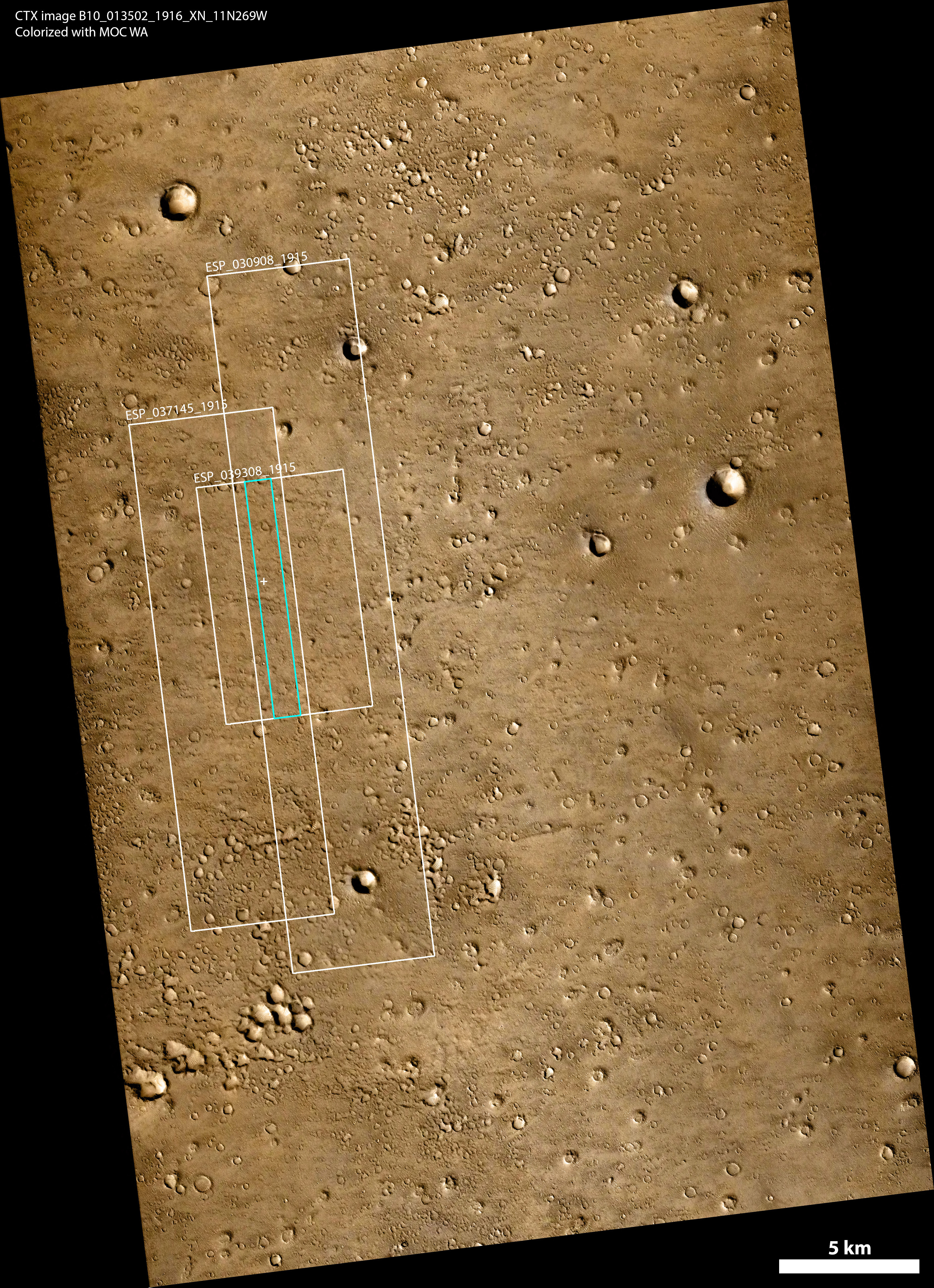
Data sources:
- CTX image B10_013502_1916_XN_11N269W
- MOC WA image from here
- HiRISE image footprint ESP_030908_1915
- HiRISE image footprint ESP_037145_1915
- HiRISE image footprint ESP_039308_1915