Bruce Murray Space Image Library
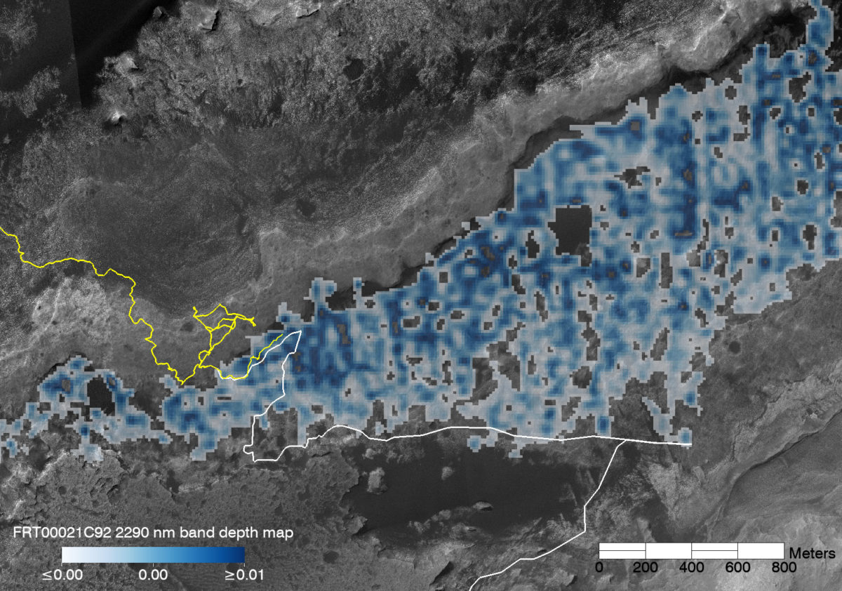
Before & After: Map of Glen Torridon, the clay-bearing unit at the base of Mount Sharp
Valerie Fox explains the map: "The CRISM map shows the relative depth of a spectral absorption at 2290 nanometers that is characteristic of iron-bearing smecite clays (nontronite), derived from an Along-Track Oversampled CRISM observation that allows processing to a resolution of 12 meters per pixel. The depth of the absorption is a function of mineral abundance and grain size, surface textures, and dust and sand cover. The detection of smectite clays in this region (informally called Glen Torridon) compared to the rest of the Murray formation is coincident with the distinct rubbly morphology to the south of Vera Rubin Ridge, suggesting textural controls on the spectral signature we see from orbit.


 Explore Worlds
 Find Life
 Defend Earth


