 Explore Worlds
 Find Life
 Defend Earth
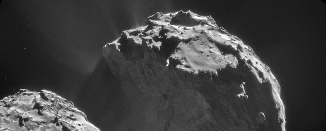
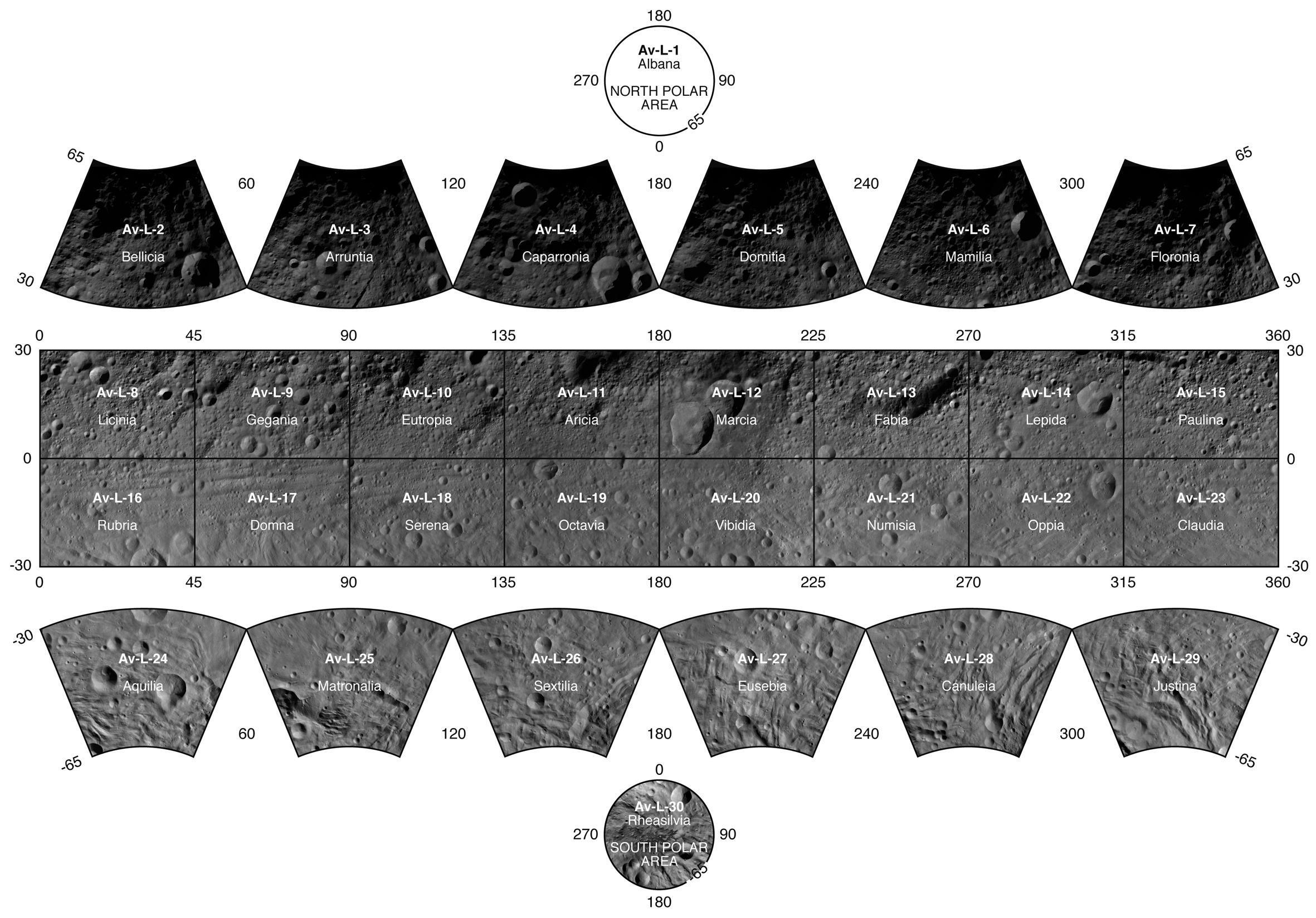
Photo-atlas of asteroid Vesta based on Low Altitude Mapping Orbit (LAMO) image data
More information in this EPSC press release.
See also the DLR Dawn public products website.
Here is an example quadrangle map sheet, the Numisia quadrangle:


Accelerate progress in our three core enterprises — Explore Worlds, Find Life, and Defend Earth. You can support the entire fund, or designate a core enterprise of your choice.
Give Today
Know the Cosmos and our place within it.
Empowering the world's citizens to advance space science and exploration.
More information in this EPSC press release.
See also the DLR Dawn public products website.
Here is an example quadrangle map sheet, the Numisia quadrangle: