
 Explore Worlds
 Find Life
 Defend Earth


Bruce Murray Space Image Library
Global Images of Earth
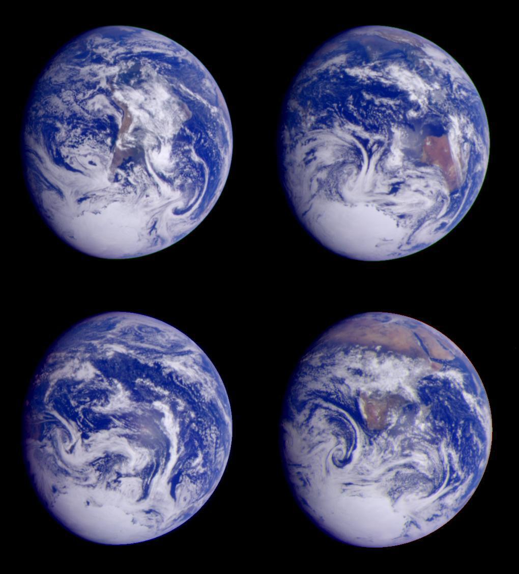
The images were taken at six-hour intervals on December 11, 1990, at a range of between 2 and 2.7 million kilometers (1.2 to 1.7 million miles). Galileo's closest approach (960 kilometers, or 597 miles, above the Earth's surface) to the Earth was on December 8, 1990, 3 days before these pictures were taken. Each of these images is a color composite, made up using images taken through red, green, and violet filters.