
 Explore Worlds
 Find Life
 Defend Earth


Bruce Murray Space Image Library
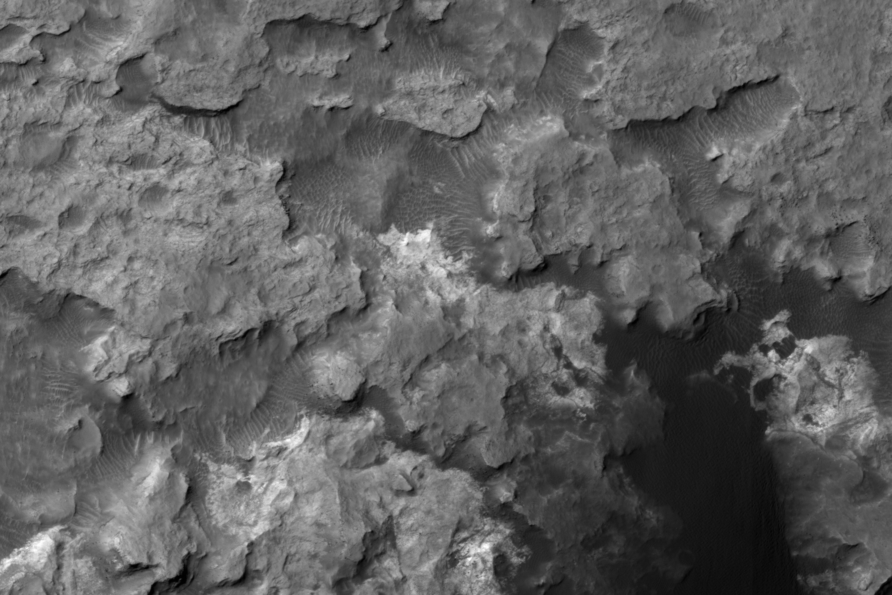
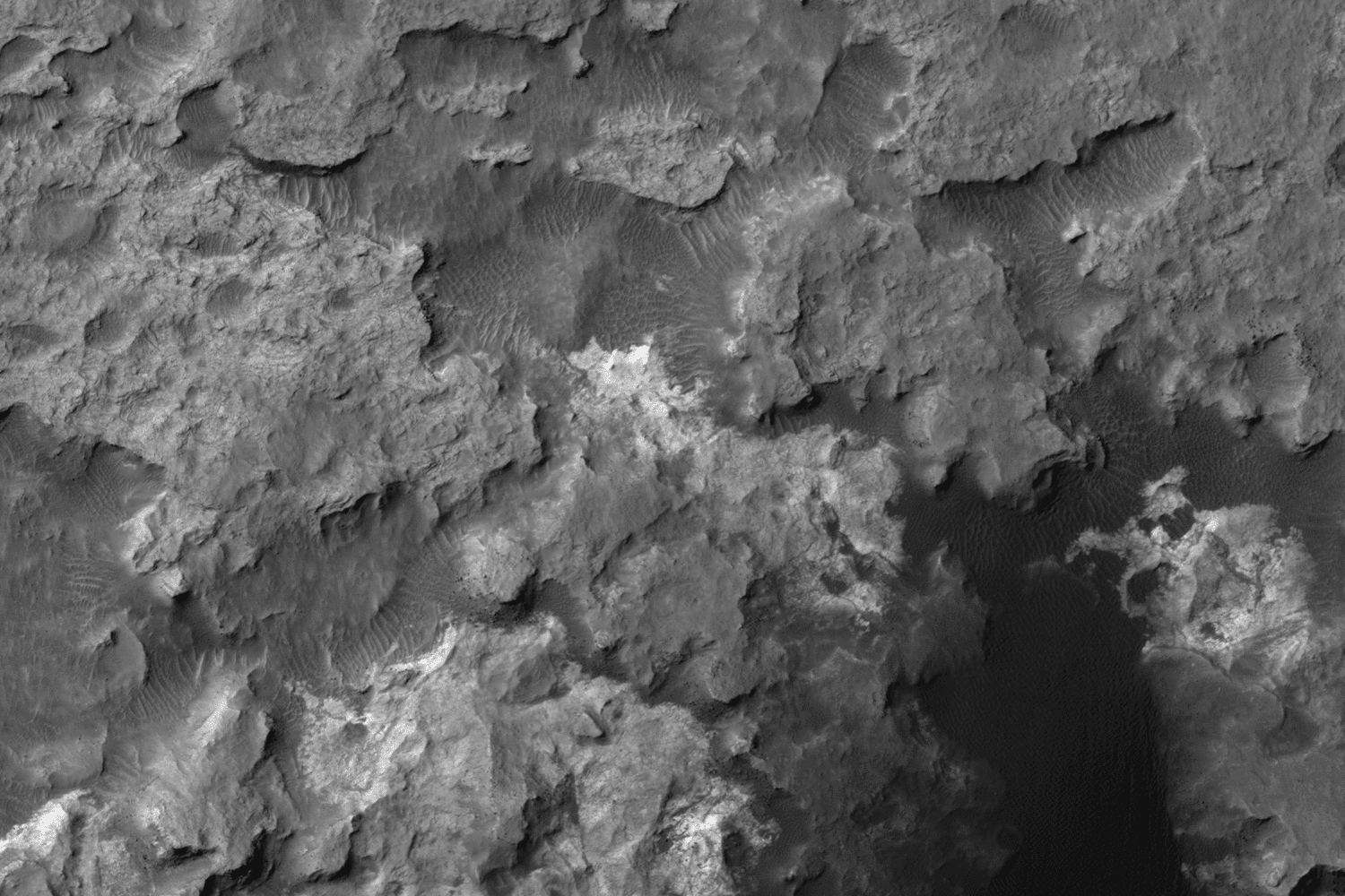
3D view of Hidden Valley and surrounding area, Curiosity landing site

The above is a red-blue anaglyph. Use 3D glasses (red over left eye, blue over right) to see it in 3D.
Stereo View


Flicker GIF

Data are from this DEM. The positions of right- and left-eye images have been adjusted to decrease the parallax -- the original DEM had a lot of slope in this region, making the separation between left and right eyes headache-inducing.