
 Explore Worlds
 Find Life
 Defend Earth


Bruce Murray Space Image Library
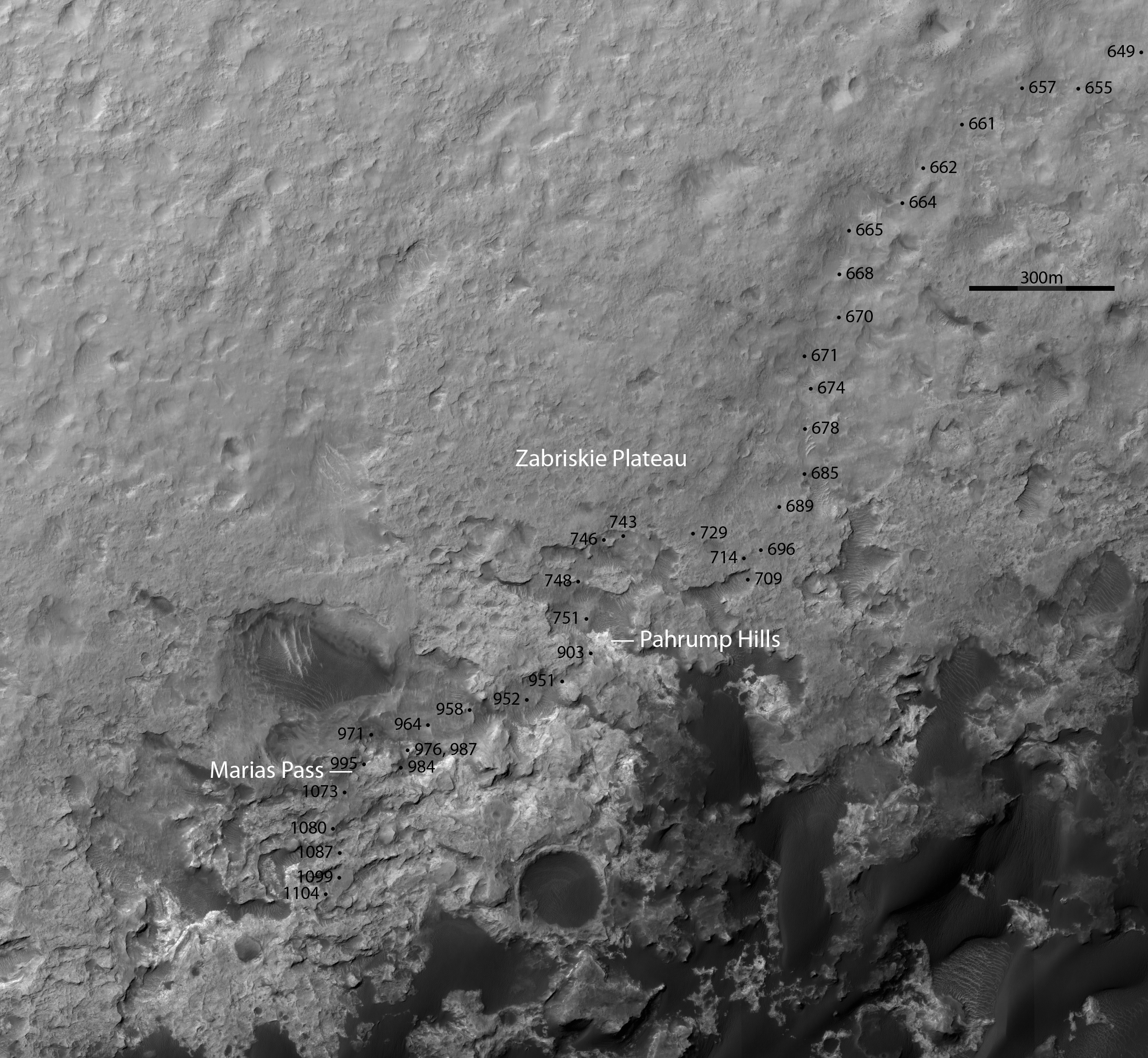
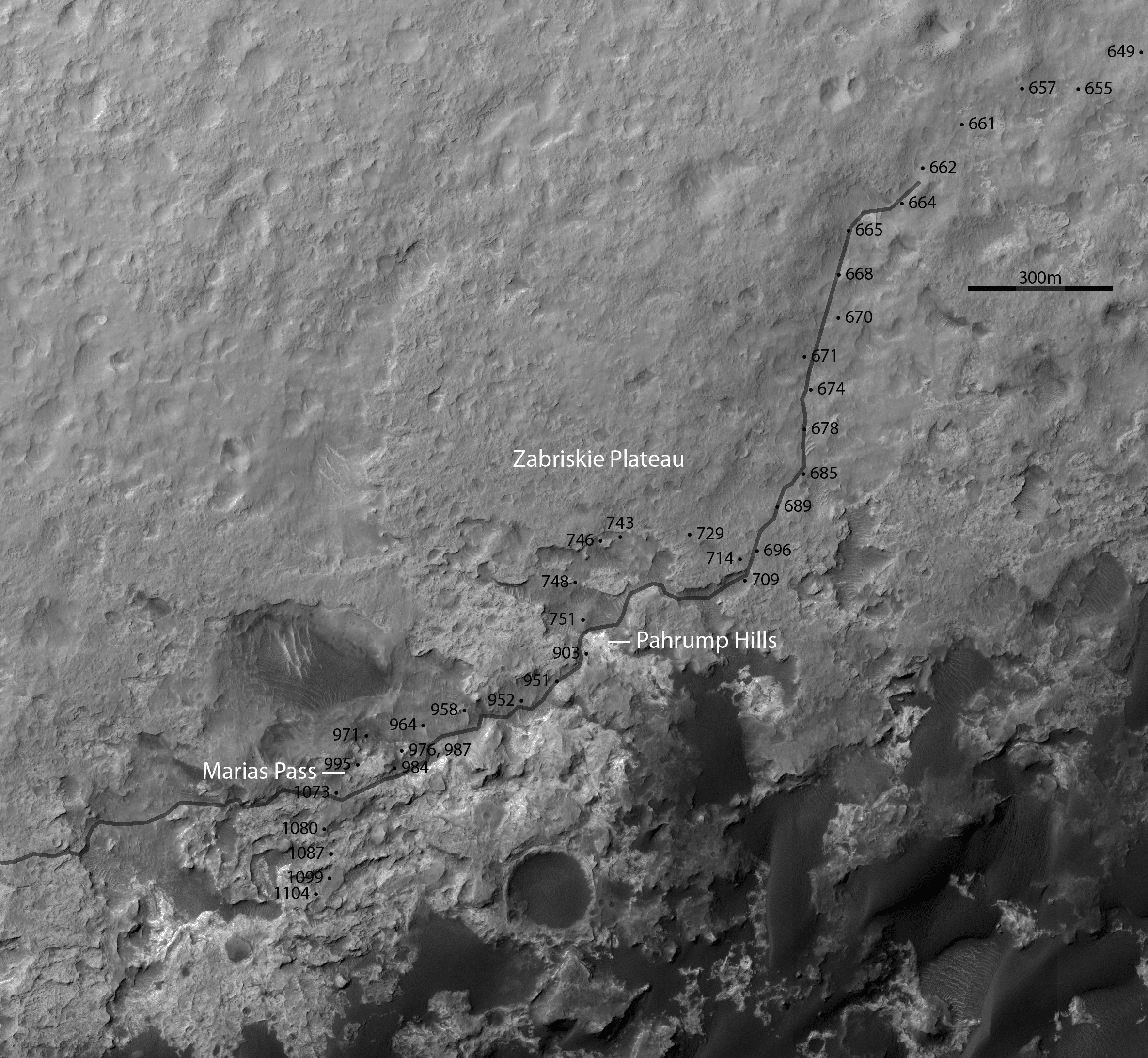
3D route map for Curiosity: Along the dunes to the edge of Murray Buttes, sols 649 and following
The above is a red-blue anaglyph. Use 3D glasses (red over left eye, blue over right) to see it in 3D.
Stereo View
Flicker GIF

The base map is this anaglyph HiRISE image.