The Mars Reconnaissance Orbiter, studying the Red Planet's climate and geology
Highlights
- NASA's Mars Reconnaissance Orbiter, known as MRO, is an orbiting spacecraft studying Mars' climate and geology since 2006.
- Using the most powerful high-resolution camera ever sent to Mars, MRO produces stunning images that help scientists discern how geologic forces shaped the surface.
- The spacecraft also relays communications between surface missions and Earth, and helps scout future landing sites.
Why do we need the Mars Reconnaissance Orbiter?
Among rocky planets, is Earth unique? In some ways, yes: Earth hosts a complex ecosystem with intelligent life. But how common are the geologic forces that shaped our planet, and how did they create the conditions hospitable for life? Are they common or rare among similar types of planets, both in our solar system and in planetary systems beyond? Studying Mars—a nearby, rocky, similarly-sized planet—helps us answer these questions.
Of particular interest is water: how much of it there was, how it sculpted the surface of the planet, and where it still exists today. Water is a key requirement for the evolution of life as we know it. Understanding the history of water on Mars informs the understanding of life on Mars—if it ever existed.
NASA's Mars Reconnaissance Orbiter (MRO) is an orbiting spacecraft that studies the geologic history of Mars and its present climate. It allows scientists to compare the forces that shaped Mars to those that shaped the Earth—including water— and provides unique insights into the planet's formation and evolution. It also provides an ongoing record of Mars' climate and weather patterns. These insights help scientists understand how this Earth-like planet changed from a habitable world to a wasteland, and whether Earth could suffer the same fate.

What does the Mars Reconnaissance Orbiter do?
MRO is part of NASA's Mars Exploration Program, an unprecedented, multi-decade campaign to comprehensively understand Mars and its suitability to host past or present life. All spacecraft launched in this effort play a complementary scientific role to each other. But MRO plays a special role in supporting these other missions.
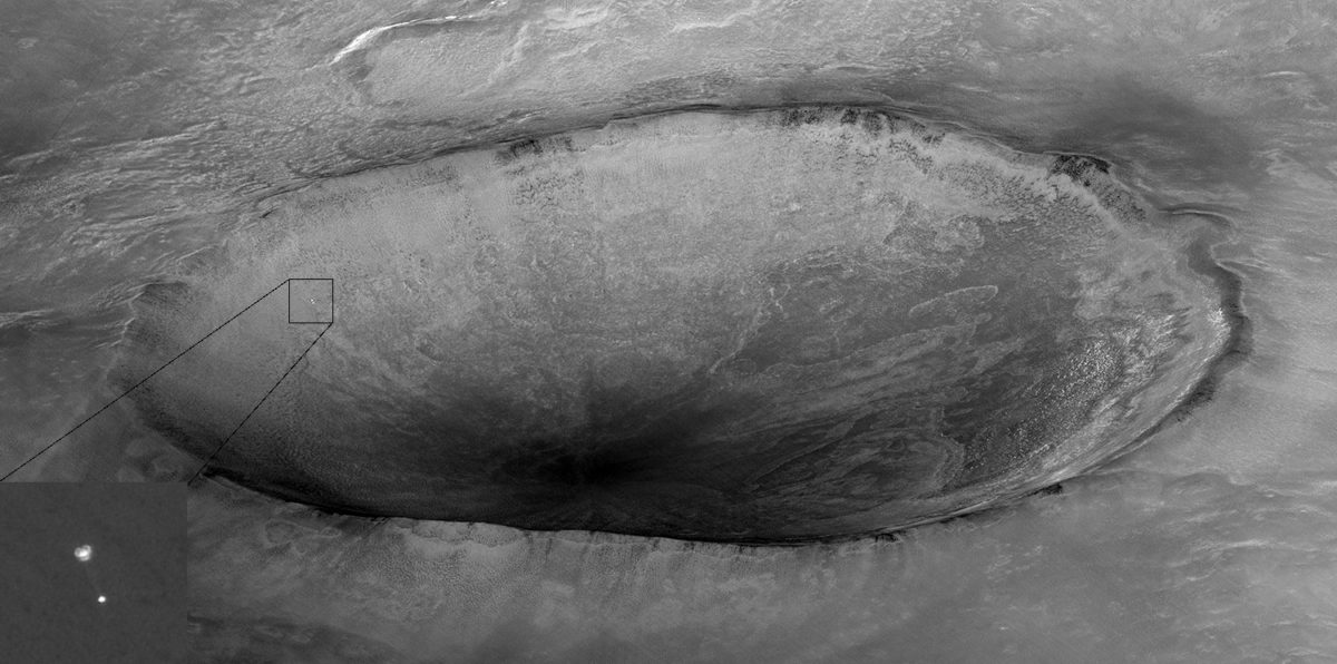
The spacecraft's powerful camera helps engineers select safe landing sites for future robotic and human missions to Mars, free of obstacles like uneven terrain or large rocks and boulders. It also provides high-resolution maps to help Earth-bound rover operators plan driving routes. It has even captured jaw-dropping pictures of spacecraft in the process of landing on Mars.
Additionally, MRO is the cornerstone of NASA's satellite communications network at Mars. The robotic spacecraft and rovers that land on the martian surface are limited to small, low-powered antennas that beam data back to Earth at a relative trickle. At that rate, those missions could never send all of their science data back to Earth. MRO solves this problem by relaying this data back to Earth at high speeds on behalf of the surface missions, using its powerful 3-meter antenna. The success of NASA's surface exploration of the Red Planet is dependent upon this relay capability provided by MRO and a few other orbiting spacecraft.
How the Mars Reconnaissance Orbiter studies the geology and climate of Mars
The Mars Reconnaissance Orbiter launched in August of 2005
and reached Mars 7 months later in March of 2006. Using its suite of
exquisitely sensitive scientific instruments, it has been observing Mars
ever since — far outlasting its original five-year design lifetime.
Through these efforts, MRO has found that Mars experienced many geologic processes similar to the ones that shaped Earth in its past, including volcanic lava flows, wind erosion forming massive buttes, the depositing of sedimentary layers within lake beds, and meandering rivers cutting through bedrock. These data suggest that similar-sized rocky planets share a similar set of forces that shape their surfaces.
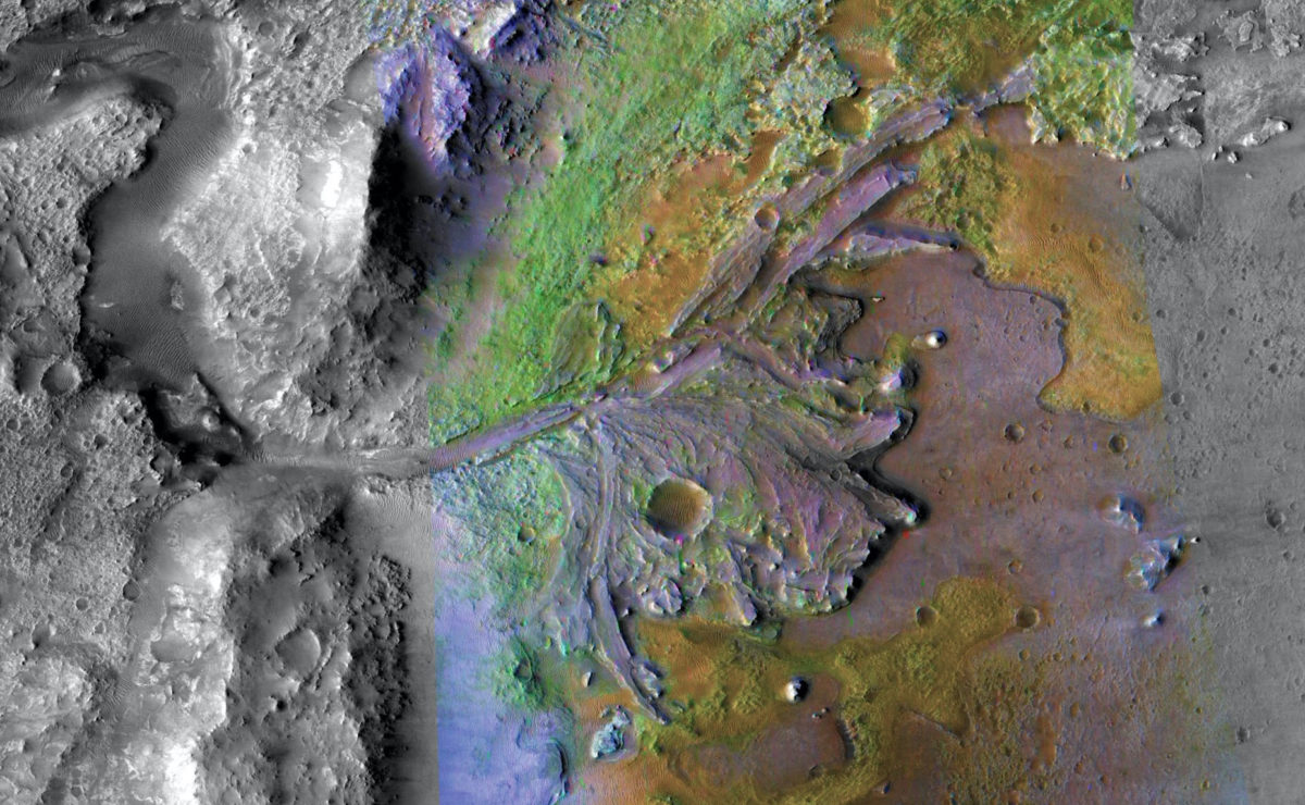
MRO's other instruments look at Mars through specific ranges of the electromagnetic spectrum—basically, ranges of colors, many of which are beyond what the human eye can see. Different physical processes, atmospheric gasses, and surface compounds have distinctive "fingerprints" when viewed in these color ranges. By looking at Mars through these color ranges, MRO's instruments help confirm the presence (or absence) of these processes and materials, providing important clues into the history of Mars and how it formed.

The Mars Reconnaissance Orbiter hosts six science instruments:
- Three scientific cameras to study the surface and weather patterns
- A specialized instrument to map the surface distribution of key minerals
- A ground-penetrating radar to look for buried water and ice;
- An instrument to study the composition and structure of Mars' atmosphere.
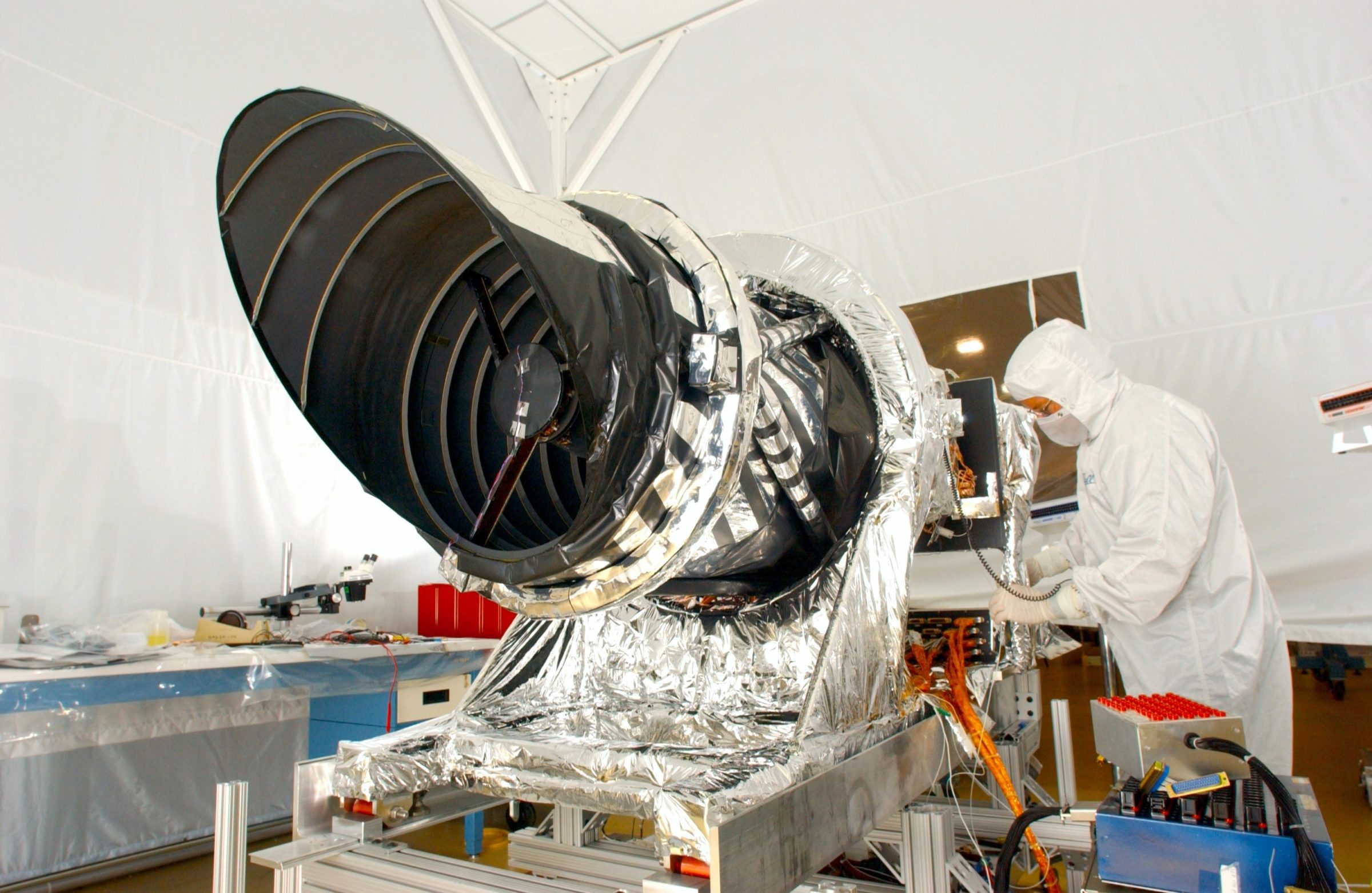
MRO carries the most powerful camera ever sent to Mars. It can reveal details as small as 1 meter (3 feet) across and create precise 3D maps of the surface. Combined with a complementary camera that provides a wider context of the surface, MRO examines the surface at great detail to identify geologic processes that shaped it, from the subtle to the catastrophic.
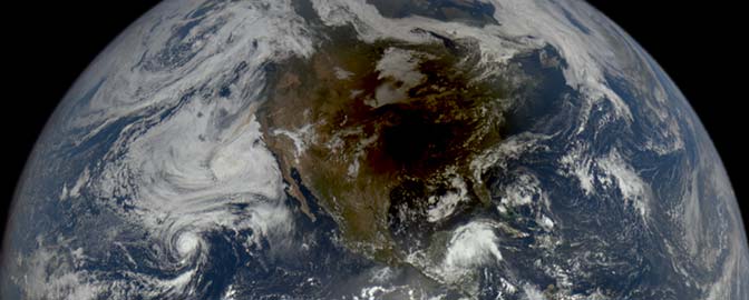
In addition to studying the surface, MRO uses its specialized instruments to track the annual changes in Mars' climate as the planet revolves around the sun. Its cameras make frequent global weather maps, a specialized instrument studies the composition and structure of Mars' atmosphere, and it uses radar to seek out buried deposits of water. MRO has provided more than 15 years of climate and weather data, leading to improved models that assist in the safe landing of future robotic and human missions.
MRO added additional, overwhelming evidence that water once flowed on Mars. Its cameras found surface features sculpted by flowing water. It detected abundant minerals formed or chemically altered by water scattered over the planet's surface. And its ground-penetrating radar discovered large amounts of buried ice, including an ice reservoir the size of Lake Superior.

Support missions like Mars Reconnaissance Orbiter
Whether it's advocating, teaching, inspiring, or learning, you can do something for space, right now. Let's get to work.


 Explore Worlds
 Find Life
 Defend Earth


