
 Explore Worlds
 Find Life
 Defend Earth


Emily Lakdawalla • Dec 16, 2008
AGU: An update on Kaguya
On Monday afternoon at the American Geophysical Union meeting there was a short session, comprising four talks, on the status of Kaguya, Japan's enormous lunar orbiter. The first presentation was an overview of the mission; the next three presentations focused on individual instruments.
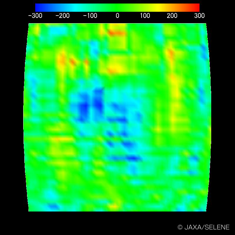
The first presentation, by N. Namiki, presented a new map derived by Kaguya of the gravity field of the Moon. This is probably the most important contribution of Kaguya to lunar science. The force of gravity felt by a spacecraft is a sensitive probe of the distribution of mass at the surface and near-surface interior of a planet, and a very important clue to the history of a planet's formation. Getting a map of the gravity field of a planet usually involves two-way Doppler tracking of a spacecraft's radio signals from Earth-based radio antennas. The problem with gravity mapping of the Moon has always been that we can only see one hemisphere of the Moon from Earth; we've never been able to track spacecraft that orbit close to the far side of the Moon, because the Moon blocks our line of sight to the spacecraft. So we have pretty decent maps of the gravity field of the near side of the Moon, but generally pretty lousy data on the far side.
Kaguya sought to solve this by employing a relay satellite, so that while the main spacecraft passed over the far side of the Moon, its signals would be related to Earth via a relay satellite in a higher orbit; instead of two-way Doppler tracking, it's now four-way (Earth to relay to Kaguya back to relay to Earth). The technique seems to have been successful, because they showed dramatic improvement in the quality of the gravity map over the lunar farside. Here's a small piece of the farside gravity map; the left panel is from Lunar Prospector, the best-to-date data set, and the right panel is from Kaguya.
NASA
Let’s Go Beyond The Horizon
Every success in space exploration is the result of the community of space enthusiasts, like you, who believe it is important. You can help usher in the next great era of space exploration with your gift today.
Donate Today